How to play Country silhouettes
All 197 countries, from Canada to the Vatican. Every one you name is painted on your globe in the colours of its flag.
Start playing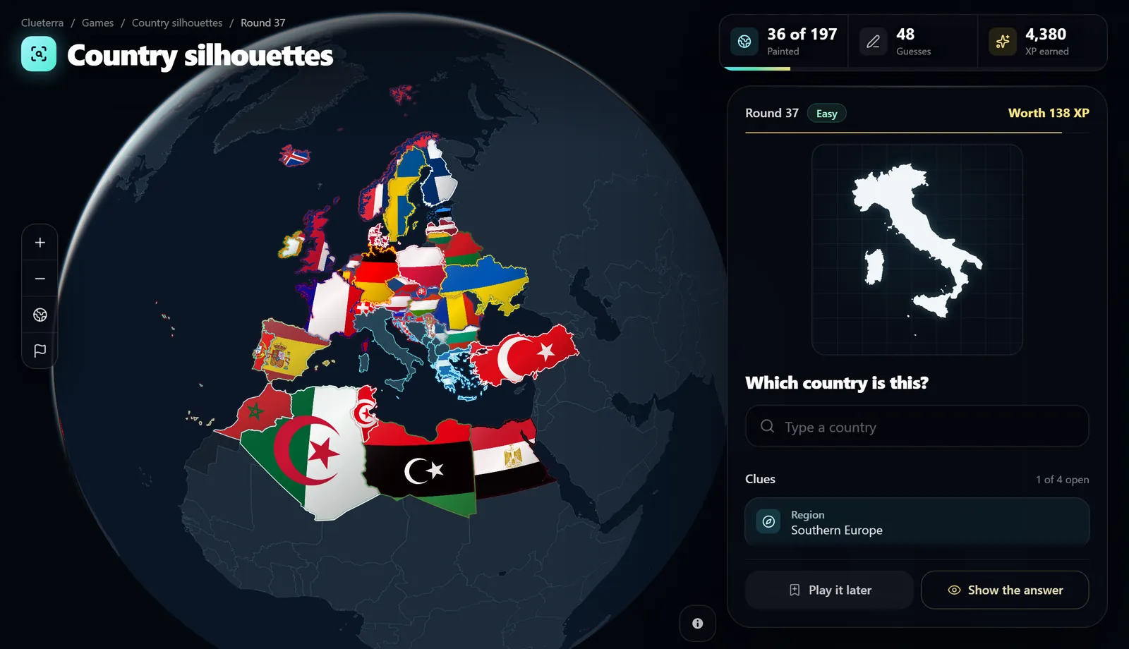
How it works
Recognise the shape
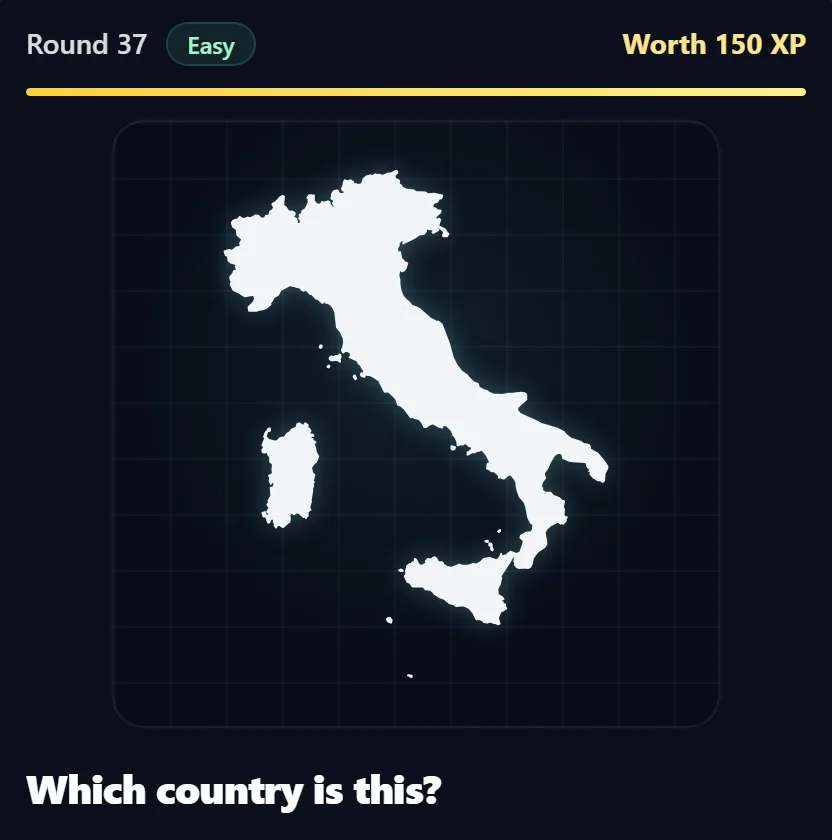
You see the outline of one country, filled in white with north at the top. Its own coastline, borders and islands are all you get: no names, no neighbours and no position on the map.
Name the country
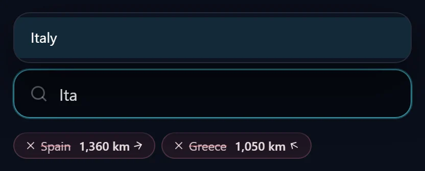
Type the country and pick it from the list. Common names count in English, Russian and Czech, and you can guess as often as you like. A wrong guess turns red on the globe and tells you how far away the answer is and in which direction.
Open a clue when you are stuck
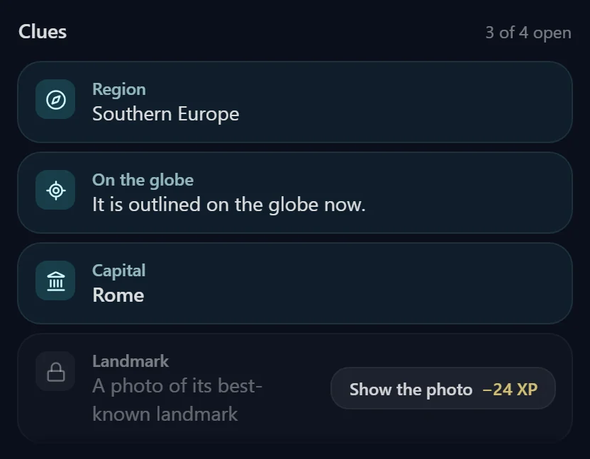
Stuck? Open up to four clues: the region, which lights up on the globe, the country itself outlined on the globe, its capital and a photo of its best-known landmark. The first two are cheap because you can still work the answer out yourself; the capital and the photo cost twice as much XP. You can also play it later or show the answer.
Paint your globe
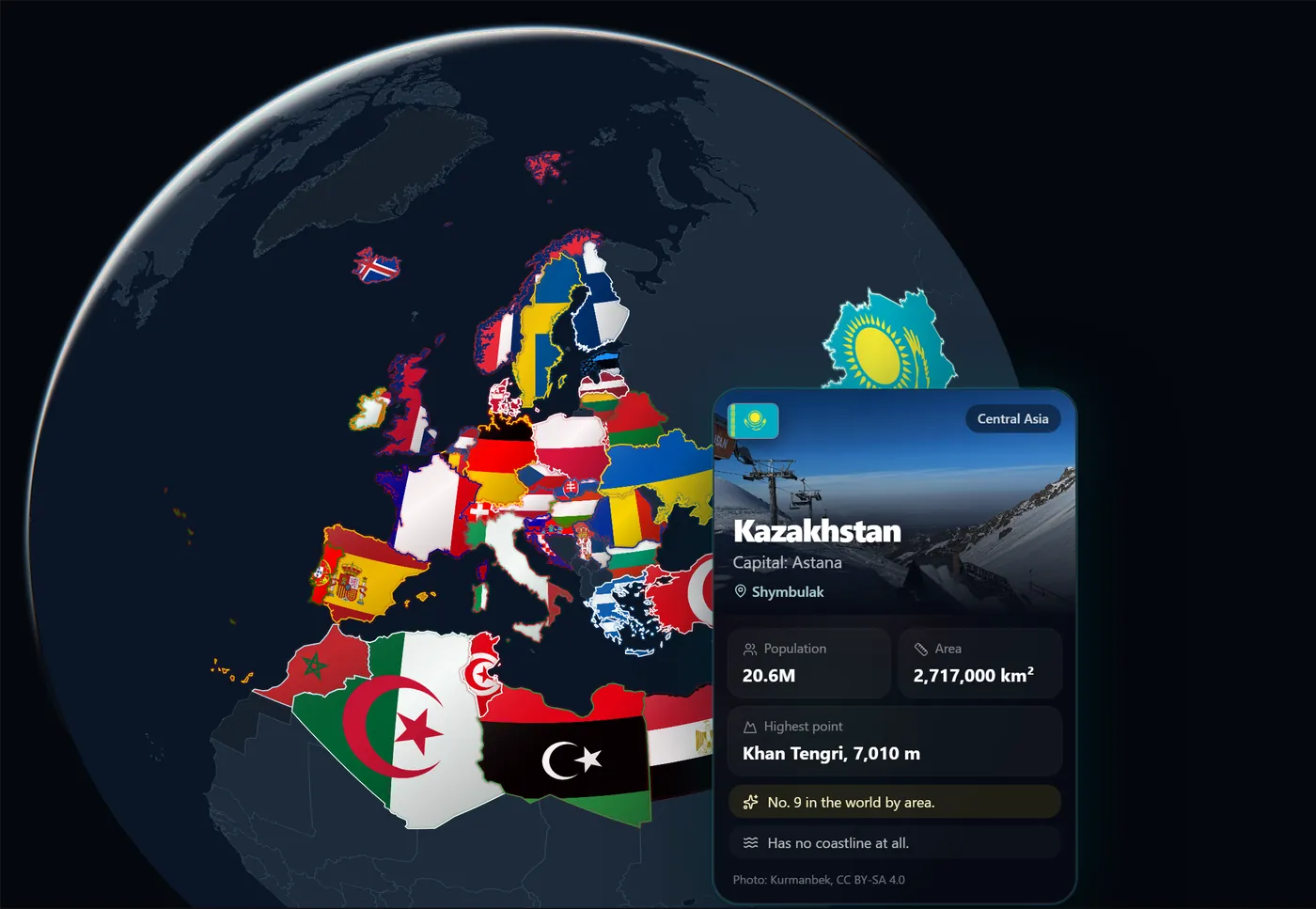
Every country you name is painted on your globe, either draped in its flag or in the proportions of its flag colours; switch between the two on the globe. Hover over or tap a painted country to see a photo and a few checked facts about it.
Which countries are in the game?
All 193 member states of the United Nations plus Vatican City, Palestine, Kosovo and Taiwan, 197 in total. Microstates such as Monaco, Nauru or Tuvalu are included. Easy rounds start with large, well-known countries and the game moves on to smaller ones as your globe fills up.
Which borders does the map use?
Borders follow the position of the European Union. Crimea and Donbas are part of Ukraine, Northern Cyprus is part of Cyprus, Abkhazia and South Ossetia are part of Georgia, Transnistria is part of Moldova, the Golan Heights are part of Syria and East Jerusalem is part of Palestine. Western Sahara is shown as a separate territory and is not one of the countries to guess.
Where the shapes and facts come from
Outlines and borders come from Natural Earth, flags from the open flag-icons set and photos from Wikimedia Commons with their author and licence. A fact is only shown when two independent sources agree: population from the World Bank, GeoNames or the CIA World Factbook checked against Wikidata, and areas checked against the map itself.
See all data sourcesFrequently asked questions
Is the country silhouette quiz free?
Yes. You can play without an account and your globe is saved in this browser. Sign in to keep it, your XP and your badges on every device.
Are there badges?
Yes: for 30 countries, for 100 countries and for painting the whole globe.
What if I cannot name a country?
Open a clue, play it later or show the answer. A country you did not name comes back in a later round and stays unpainted until you name it.
Why are some islands drawn as dots?
Tiny atolls would be invisible at full size, so island nations such as the Maldives or Tuvalu show each island as a small dot in its real place.